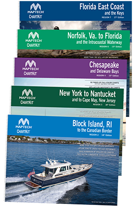
ChartKit® with Companion Software
Maptech's ChartKit® books are full-color reproductions of NOAA charts bundled together in large cruising regions.
ChartKit® has been a mainstay of boating for generations -- more than 1 million ChartKit® books have been sold in the past 40 years!
- A Great Value
You'll save up to 90 percent compared to the cost of purchasing individual paper charts.
- The Perfect Size
Large enough to plot routes; small enough to fit on your lap.
- Easy to Use
Pre-plotted waypoints and lat/lon grids for your GPS; magnetic courses for your compass.
- Fully Referenced
Geographic and alphabetical indexes quickly point you to the right page.
- Reliable
A great primary or secondary navigational reference. No batteries required!
ChartKit® Features
- 22" x 17" spiral-bound charts
- GPS waypoints
- Magnetic courses
- Multiple chart scales
- "Go to" page numbers
- Aerial photos
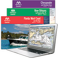
- Companion Software
Turn Your PC into a Chart Plotter!
Chartbook Companion Software
Included free with continental ChartKit® books.
- Exact Duplicates of ChartKit® Pages
- PC Tools for Planning, Printing, GPS and Real-Time Positioning


